





Ground control point GCP

Contents |
[edit] Introduction
A ground control point (GCP) is a place or object with a known geographic location (or GPS coordinate) that can be used as a reference point to deliver a precise aerial map for surveying purposes. GCPs are built on the principle of recording the position of an object by calculating the distance and angles between strategically selected points. GPCs can make it possible to map large areas in aerial mapping surveys.
[edit] Parameters for GCPs
GPCs can be photo identifiable objects (such as a manhole cover) or a marked black and white symbol (such as the figure “X” painted on the ground or a small section of a checkerboard). Traditional surveying methods or existing maps can be used to locate the points, but other approaches - such as LiDAR or Google Earth - can also be used.
From an aerial photography perspective, GCPs are a traditional method of defining a location. High contrast colours can be used to make GCPs stand out on drone maps. They should have centrepoints that are clearly defined.
There are other parameters for creating GCPs, including spatial reference systems. These systems are used to relay positions in GCPs by defining several parameters, including:
- Reference ellipsoid. This is the geometric surface that represents the approximate shape of the Earth.
- Reference datum. This is the reference point that is used as the basis for the measurement of all positions.
- Geoid model. This representation of the Earth’s surface uses mean sea level as the reference point of measurement.
- Unit of measurement. This data should be clearly stated - degrees (in latitude and longitude, metres or feet) in relation to how the GCP will be measured in relation to the reference datum.
- Map projection. The method of converting the map from a 3D ellipsoid into a flat plane applies a formula referred to as coordinate transformation.
[edit] Advances in drone surveillance
While GCPs have been a tested method of aerial mapping, there are some inefficiencies associated with the method. There can be logistical challenges when obtaining authorisation for access. In some cases, it may not be possible to gain physical access to the area, even once permission has been granted, due to dangerous terrain or hazardous or remote locations.
In addition, set up can involve a significant amount of time, labour and equipment.
There are several types of equipment that use differential correction technology to provide better data location information; this essentially removes the need for GCP set up. The most commonly used options are real time kinematic (RTK) and post processed kinematic (PPK). RTK makes real time corrections to images captured by GPS while PTK corrects location data after it has been collected and uploaded. In some instances, it can be helpful to use GCPs to enhance information gathered by RTK or PPK enabled technologies, particularly in instances where it is important to capture certain types of precise data regarding accuracy of scale, orientation and so on.
[edit] Related articles on Designing Buildings
- Construction drones.
- Global positioning systems and global navigation satellite systems.
- Ground sample distance GSD.
- Interview with Elly Ball, co-founder Get Kids into Survey.
- Land surveying.
- Laser scanning for building design and construction.
- Post processed kinematic PPK.
- Real time kinematic RTK.
- Universal transverse mercator projection.
- Uses of drones in construction.
Featured articles
Check out some of the best features and news from Designing Buildings as well as key stories from around the web.

New, more proportionate and targeted approach for higher-risk building assessments.

Government brings British Steel into public ownership.
UKCW Birmingham returns with bold new theme and focus.
New guidance published on competence requirements for self-certification schemes.
Construction Management, 8 July

NEETs crisis drives interest in trades, but apprenticeships barriers remain.
Passive fire protection webinar
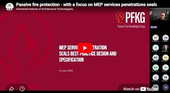
MEP services penetration seals.

Where its at podcast (and video) - The role of the Architectural Technologist as an Expert Witness.
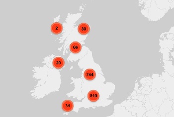
More than 200 remarkable buildings added to SAVE’s Buildings at Risk register.

Government scraps pre-application consultation for Nationally Significant Infrastructure Projects.
Historic England and infrastructure
New projects offer opportunities for the historic environment and local communities.
Construction Management, 2 July

Construction deaths halve in two years.
Green Book changes to drive investment in all parts of UK.